
Featured member, September 2026: Stefanos Georganos
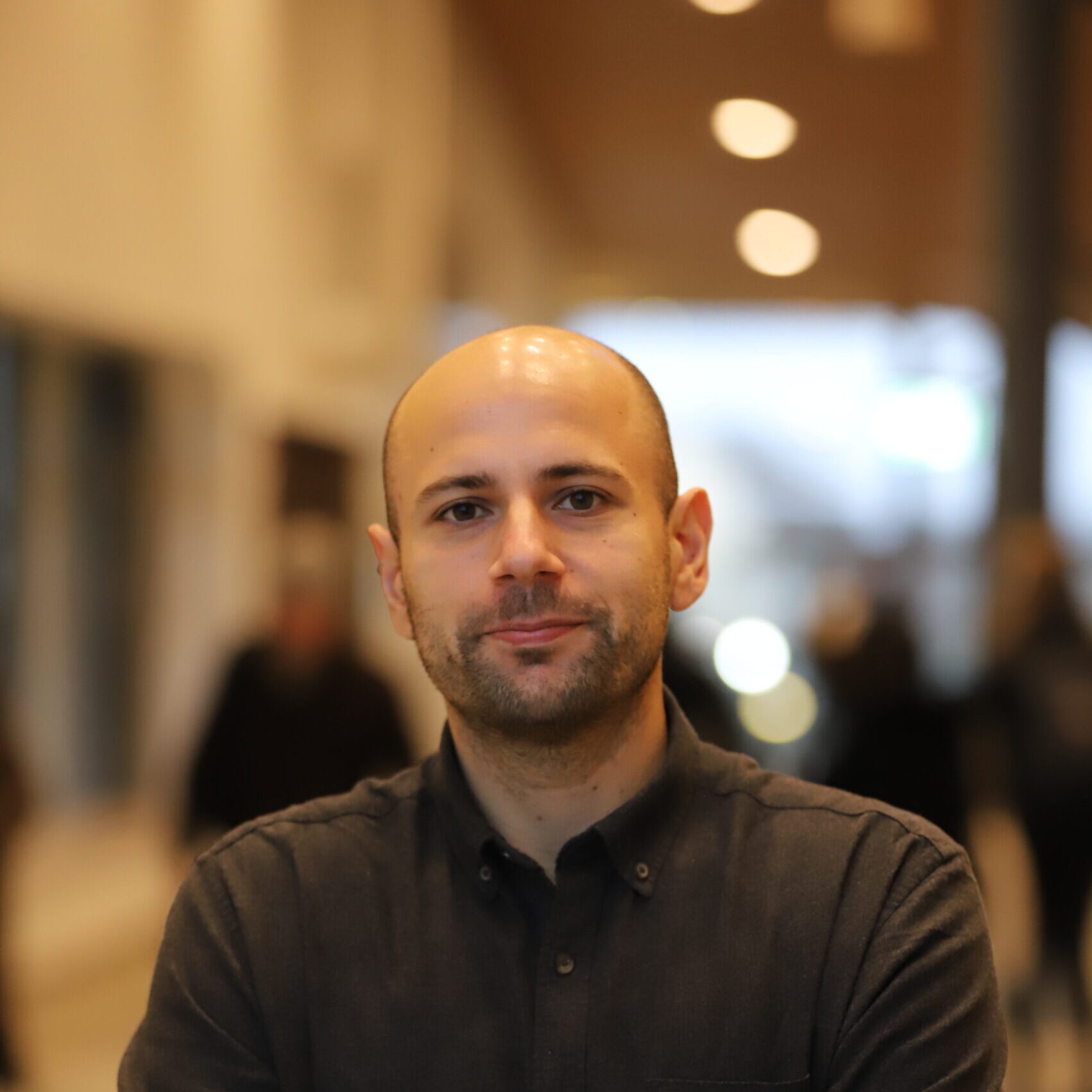
Hi Stefanos! Could you tell us a bit about yourself and your work?
I’m an Associate Professor (Docent) in Geomatics at Karlstad University, Sweden and affiliated with the Free University of Brussels, Belgium. I work where remote sensing, machine learning and urban geography meet. Most of my research comes back to one question: who lives where in rapidly growing cities, and how exposed are they to climate hazards?
Our FORMAS-funded DEPRIMAP project has published one of its main results in Nature Cities. The paper was led by our PhD student Sai Ganesh Veeravalli, together with Dana Thomson and colleagues. We mapped densely built, poorly connected neighbourhoods across 5,132 cities in 103 countries in Africa, Asia, and Latin America and the Caribbean. We estimate that about 395 million people live in such areas, and more than a third of them live in small and medium-sized cities that global monitoring rarely reaches.
Heat and hazards are the other main thread of my work. The BELSPO-funded ONEKANA project, with ULB and the University of Twente, combined Earth observation, AI and citizen science to make thermal inequality visible in African cities. Its follow-up, DynEO4SLUMS, which I co-lead from Karlstad, tracks how informal settlements and their populations change over time and how exposed they are to multiple hazards. In Sweden, I’m part of SESAC, the national competence centre that helps social scientists work with satellite data. I also currently serve as President of EARSeL, the European Association of Remote Sensing Laboratories.
What kinds of research opportunities or collaborations are you excited to be part of in the future?
Above all, linking who is exposed with what they are exposed to. That means combining neighbourhood-scale maps of deprivation and population with the heat, flood and downscaled climate models that many in this network build. Such exposure estimates are only as good as the population data behind them. In Sweden, we found that global gridded population datasets overestimate flood exposure, while in informal settlements in the Global South these products tend to undercount residents.
On the methods side I’d like to go further with models that work in cities with little training data, with uncertainty quantification, and with spatially explicit machine learning that takes local context and citizen science input into account. I’d also love to see more of this applied in the Nordics, for example by combining Earth observation with register data through SESAC. I’m open to joint proposals, co-supervision and researcher exchanges.
Is there anything else you would like to share with the Climate AI Nordics network?
Three things. First, the Nature Cities paper is open access, and the dataset, code and an interactive map viewer are all openly available.
Second, SESAC is co-organising the Society from Space Challenge 2026, a two-day hackathon in Lund on 19–20 November. It brings together Earth observation, data science and the social sciences, and participation is by application and free for selected participants. Sai and I are coordinating the international track on environmental risk and opportunity in Nairobi. Applications close on 30 September.
Third, the 46th EARSeL Symposium in Turin (1–4 June 2027) marks EARSeL’s 50th anniversary, and the call for abstracts opens on 14 October. It would be great to see the Nordic AI-for-climate community well represented.
What is the best way for people to get in touch with you?
Email works best: stefanos.georganos@kau.se. You can also find me on LinkedIn or through my Karlstad University research profile. Students and early-career researchers interested in Earth observation, AI and urban climate risk are very welcome to get in touch.