
Climate AI Nordics Newsletter
Welcome to the October edition of the Climate AI Nordics Newsletter!
Enjoy our community highlights, updates from our partners, events, and new job opportunities!
We connect the Nordic region’s researchers and practitioners at the intersection of AI and climate action. Whether your focus is on emission mitigation, ecosystem resilience, or biodiversity, this community is built to help your work thrive.
If you know colleagues in academia, public agencies, or industry who share these interests, invite them to join us at climateainordics.com/join.
Community spotlight
News
No current news.
Coming events
AtmoSTEM: From high-resolution emission mapping to environmental intelligence

Event date: 2026-11-05.
Webinar with Anastasia Kakouri, University of Aegean. The spatial and temporal representation of anthropogenic emissions is essential for atmospheric modelling, yet its influence on the predictive performance of data-driven air quality models remains insufficiently assessed. This study introduces AtmoSTEM, a modular European framework integrating high-resolution emission modelling with machine learning-based concentration prediction. AtmoSTEM combines CAMS-REG emission inventories, sector-specific geospatial proxies, and CAMS-TEMPO profiles to generate spatially and temporally resolved anthropogenic emissions. The initial application covers daily PM2.5 and PM10 emissions at 1 km spatial resolution across Europe for 2015–2024. The resulting emissions are integrated with meteorological, satellite-derived, atmospheric composition, and geospatial information to support machine learning-based predictions of ground-level pollutant concentrations. An Extreme Gradient Boosting (XGBoost) approach is employed to investigate the relationships between anthropogenic emissions, environmental conditions, and observed air pollution levels, with particular emphasis on the contribution of high-resolution emission information to predictive performance. Model predictions are evaluated against independent ground-based observations from air quality monitoring stations across Europe. The study aims to assess the potential of integrating high-resolution spatiotemporal emissions with machine learning for air quality prediction, providing a basis for more spatially detailed population exposure assessments and epidemiological research.
Read more!
2027 Nordic Workshop on AI for Climate
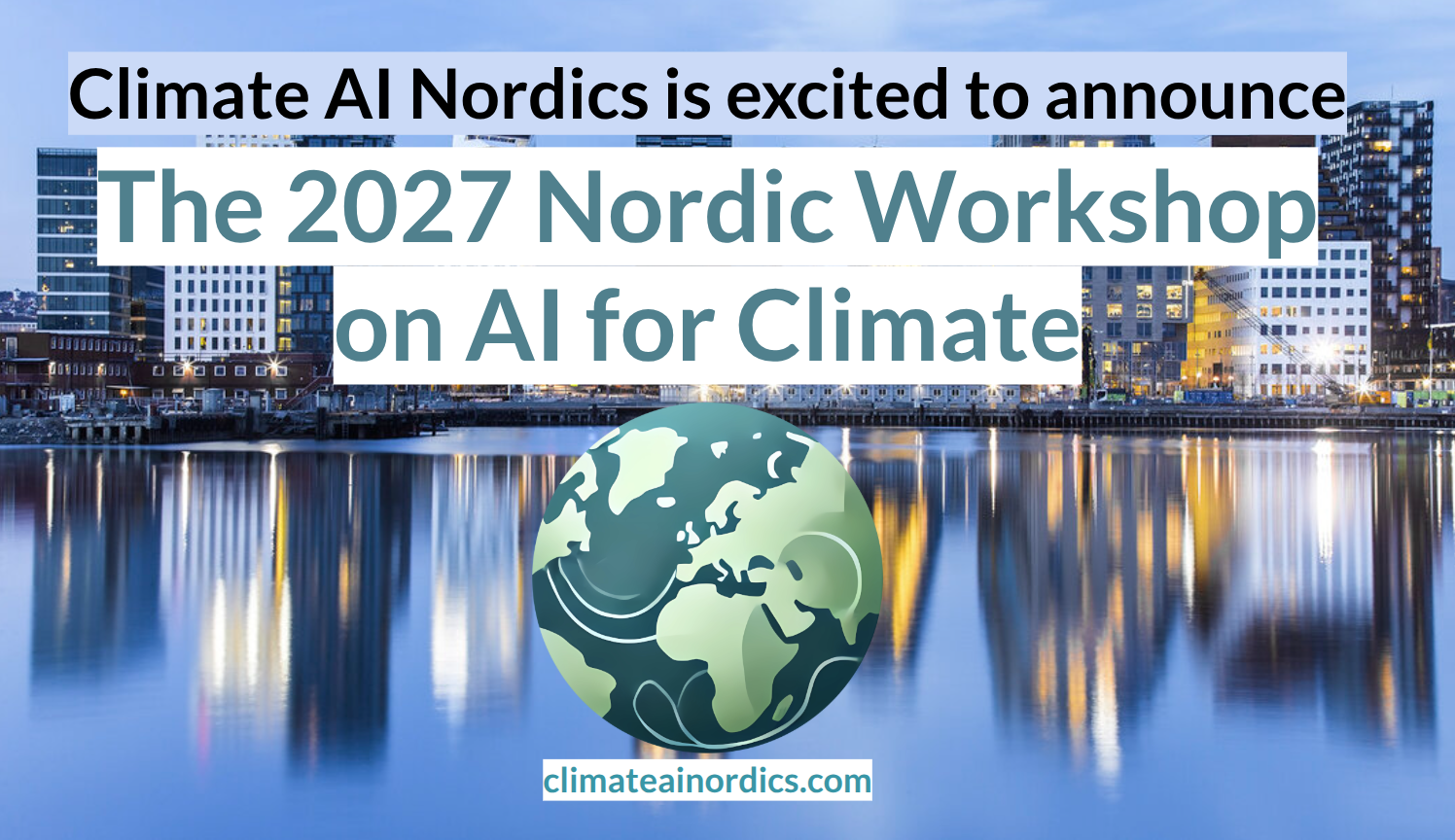
Event date: 2027-04-22.
The 2027 Nordic Workshop on AI for Climate will gather researchers from the Nordics. This one-day, in-person workshop, will take place in Oslo, April 22n 2027. The workshop will feature a mix of keynotes, oral presentations, and posters around the topics of AI for tackling climate change, including AI for biodiversity and the green transition. The workshop will be a meeting point for a wide range of researchers from (primarily) around the Nordic countries.
Read more!
Recent events
Machine perception for scientific measurement from satellite imagery

This event took place 2026-10-08. Webinar with Rangel Daroya, University of Massachusetts Amherst. In many scientific domains, the goal is not simply to classify an image or produce a visually plausible segmentation, but to estimate quantities that scientists and decision-makers can use: river width, water extent, sediment concentration, habitat change, or other physical variables. These tasks require models that are robust to distribution shift, efficient under limited supervision, and reliable enough to support downstream measurement. In this talk, I will discuss machine learning and computer vision methods for this setting, with a focus on geospatial imagery and hydrology. Scientific domains such as remote sensing expose several fundamental limitations of current vision systems. Models must operate across sensors, geographic regions, seasons, and acquisition conditions, often with limited labeled data and multispectral inputs that differ from standard natural image benchmarks. They must also detect small or thin structures, handle temporal variation, and avoid errors that may appear minor under conventional vision metrics but lead to substantial errors in scientific measurements. I will discuss three aspects that try to solve these problems: learning transferable representations that can adapt across tasks and datasets, developing data-efficient perception methods for multispectral and geospatial imagery, and translating model predictions into reliable physical measurements. I will highlight work on task transfer, satellite representation learning, river segmentation, and downstream estimation of river width and other hydrological variables. More broadly, this work aims to develop robust, transferable, and data-efficient machine perception systems that can turn large-scale satellite and scientific imagery into reliable measurements of the physical world.
Job openings
PhD Scholarship in Multimodal AI for Forest Biodiversity Mapping

NIBIO is seeking a PhD candidate for developing cutting-edge multimodal artificial intelligence methods for forest biodiversity mapping and monitoring.
Deadline: October 25th, 2026
Machine learning engineer for computer vision and controlled pesticide-use.

Dimensions Agri Technologies (DAT) are recruiting a machine learning engineer. The selected candidate will help reduce and optimize the use of pesticides by developing targeted schemes through machine learning model assisted computer vision.
Deadline: Rolling
Your news in the newsletter!
Make sure to share your work with us, by sending us an email (contact@climateainordics.com), posting in our Slack or some other channel, and we’ll add it to the news feed! Take the chance of showcasing your work or your events to the community!
Also be sure to follow us on LinkedIn and BlueSky. Climate AI Nordics will have the most impact if you repost and like our stories!
Climate AI Nordics is a network of researchers working to harness AI in tackling the climate crisis through both mitigation and adaptation.
We promote the development of AI-based tools and optimization methods that support sustainable decision-making—helping reduce emissions, restore ecosystems, and build climate resilience.