Events
Welcome to our and our partners’ events! To see a list of recordings from previous talks, click here!
2026 Nordic Workshop on AI for Climate

Event date: 2026-06-26 09:00
The 2026 Nordic Workshop on AI for Climate will gather researchers from the Nordics. This one-day, in-person workshop, will take place in Copenhagen, June 26th 2026. The workshop will feature a mix of keynotes, oral presentations, and posters around the topics of AI for tackling climate change, including AI for biodiversity and the green transition. The workshop will be a meeting point for a wide range of researchers from (primarily) around the Nordic countries.
Climes interdisciplinary summer school 2026
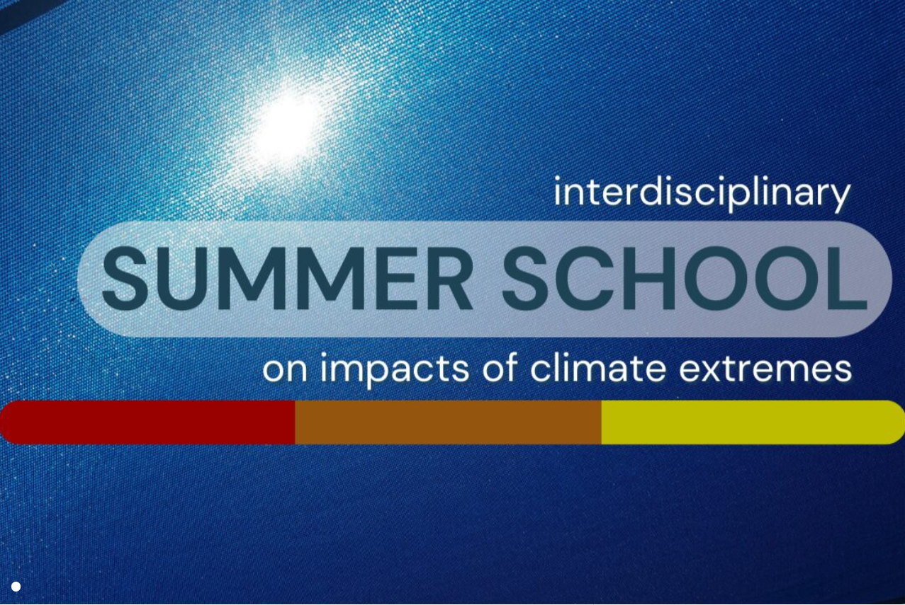
Event date: 2026-06-15
The Climes Summer School 2026 at Uppsala University offers doctoral, postdoc, and advanced master’s students an interdisciplinary curriculum focused on climate extremes, public health, and societal impacts. The program features a specialized AI component where participants use deep learning and natural language processing to automate the extraction of climate data from texts. While the school is free to attend, applicants must submit their motivation and support letters by March 22nd, 2026, and are generally responsible for their own travel and lodging.
Swedish Climate Symposium
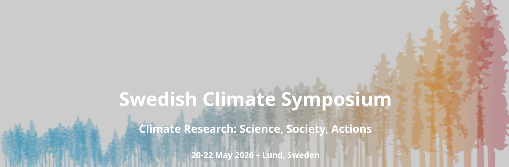
Event date: 2026-05-20
The call for abstracts is now open for the Swedish Climate Symposium (Lund, May 20–22, 2026). The event focuses on “Science, Society, and Actions,” connecting researchers with policymakers. If you are applying AI or data science to climate challenges, don’t miss the chance to present your findings. Registration opens in January.
Machine learning based classification of tree crops of Syrian Arab Republic
Event date: 2026-04-23 15:00
Webinar with Purnendu Sardar, Lund University. Accurate mapping of tree crops is vital for regional resource management, ecosystem service assessment, and the support of local livelihoods within the Syrian Arab Republic. Despite their socio-economic importance, tree crops are frequently misclassified or omitted in global and regional cropland products due to their complex spectral signatures and structural similarities to natural vegetation. This study proposes an integrated machine learning framework that combines the computational power of Google Earth Engine (GEE) with Python to enhance classification precision of tree crops across Syria. The methodology evaluates the integration of Global Ecosystem Dynamics Investigation (GEDI) LiDAR data with Sentinel-2 multi-spectral imagery to facilitate robust tree crop mapping. By utilizing GEE for the large-scale preprocessing of Sentinel-2 time-series data, the workflow generates high-dimensional, machine-learning-ready datasets that incorporate both structural and phenological variables. A Convolutional Neural Network (CNN) is subsequently trained in Python, chosen for its proficiency in processing time-series remote sensing data where temporal spectral patterns are more diagnostic than spatial textures. This approach allows the model to capture the distinct phenological cycles of various tree species, overcoming the limitations of traditional pixel-based or purely spatial classifiers. The findings underscore the efficacy of the CNN in distinguishing tree crop cover with high efficiency, demonstrating that the fusion of LiDAR-derived structural metrics with multi-temporal satellite data significantly reduces classification errors. The resulting high-resolution tree crop map provides an essential tool for sustainable agricultural planning and resource allocation in Syria.
AI in the wild: How Neural Networks Help Us Understand Our World Through Sound
Event date: 2026-03-26 15:00
This event has already happened. Stay tuned for more events like these!
Webinar with Jeppe Rasmussen, University of Copenhagen. Bioacoustics, the study of nature’s sounds, has long been a powerful tool for studying wildlife. With the rise of artificial intelligence, particularly deep learning, the potential of this field has expanded dramatically. By applying advanced AI algorithms to bioacoustic data, researchers can now identify and monitor species with greater accuracy, even in environments where visual observation is difficult, such as dense forests or deep oceans. This capability is especially critical as we face the sixth mass extinction. AI-enhanced monitoring offers new hope for conservation by providing deeper insights into the presence, behavior, and well-being of endangered species. Beyond detection, AI also opens doors to understanding animal communication and emotional states, thanks to its ability to autonomously identify and prioritize key acoustic features. In this talk, I will present a series of case studies spanning multiple species and ecosystems to illustrate how cutting‑edge AI research can meaningfully advance our understanding of the living, complex world around us—and how these methods can help mitigate the biodiversity crisis we face and discover the surprisingly rich inner life of the animals surrounding us.
Bridging data gaps in the Global South: Harnessing AI and Earth observation in the humanitarian sector

Event date: 2026-03-19 15:00
This event has already happened. Stay tuned for more events like these!
Webinar with Isabelle Tingzon, RISE. This talk highlights how AI and Earth Observation (EO) are transforming data availability for two global challenges: climate resilience and universal school connectivity. In the Caribbean, where extreme climatic hazards like hurricanes, floods, and landslides can devastate over 90% of built infrastructure across Small Island Developing States, comprehensive and up-to-date housing stock information is critical to enable resilient housing operations but is often incomplete, inaccessible, or completely non-existent. The “Digital Earth for Resilient Caribbean” initiative addresses these gaps by integrating EO data such as drone, LiDAR, satellite, and street-view imagery with AI workflows to classify roof types, materials, and building conditions. These efforts aim not only to enhance disaster response and recovery but also strengthen long-term resilience through government capacity building and knowledge exchange. In parallel, the presentation showcases UNICEF Giga’s mission to connect every school to the Internet by 2030. Reliable school location data is critical for planning telecommunications infrastructure, yet often inaccurate or incomplete in many low- and middle-income countries. By leveraging ML and satellite imagery, we’ve developed scalable pipelines to map schools across Africa on a nationwide scale, helping to ensure that no child is left behind in accessing digital learning opportunities. Together, these projects demonstrate how Geospatial AI can help bridge critical data gaps in the Global South, supporting both climate adaptation and inclusive education.
International Conference: Climate Impacts in a Changing World 2026

Event date: 2026-03-09
This event has already happened. Stay tuned for more events like these!
The Swedish Centre for Impacts of Climate Extremes (CLIMES) invites abstract submissions for the international conference Climate Impacts in a Changing World 2026, held in Uppsala on March 9–11, 2026. The event fosters interdisciplinary dialogue on the wide-ranging impacts of climate extremes on human and natural systems.
The Material Cloud Film Festival
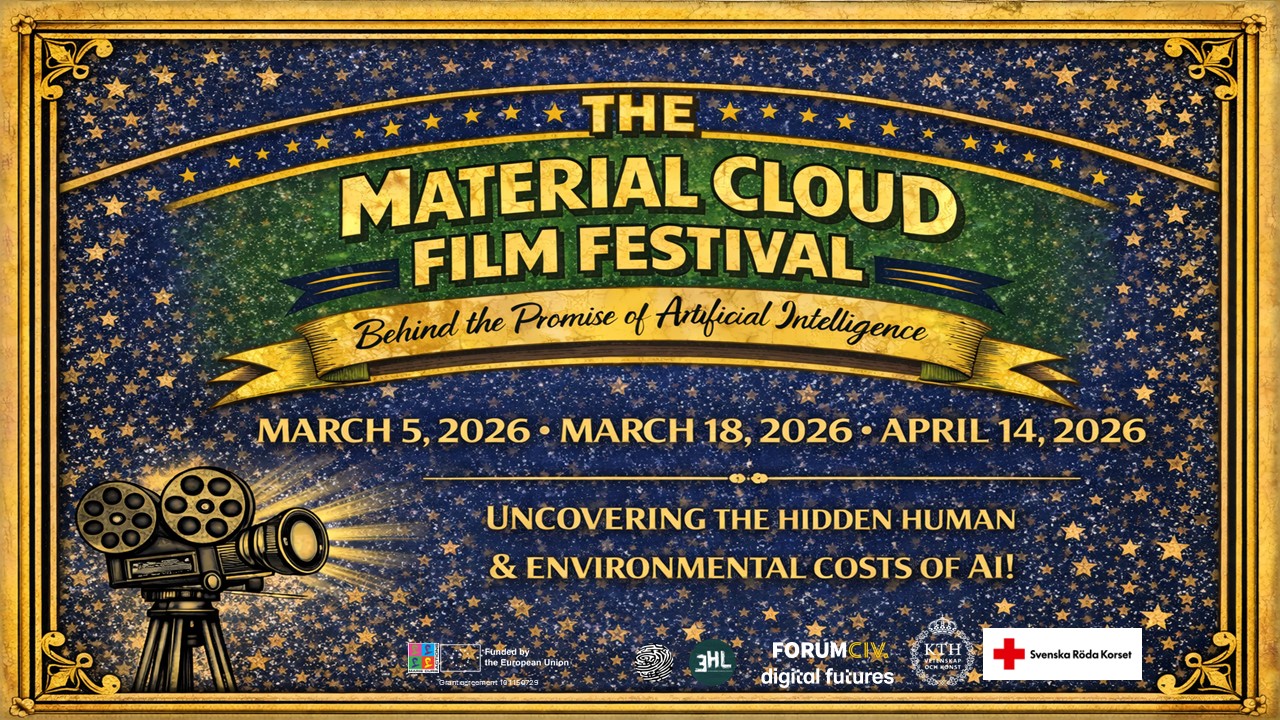
Event date: 2026-03-05
This event has already happened. Stay tuned for more events like these!
The Marie Skłodowska-Curie project LIBRA proudly announce The Material Cloud Film Festival, a three-night film festival exploring the often unseen material realities behind artificial intelligence, including labour conditions, extractive supply chains, and power concentration.
SBDI Days 2026: Artificial Intelligence in Ecology and Biodiversity Research
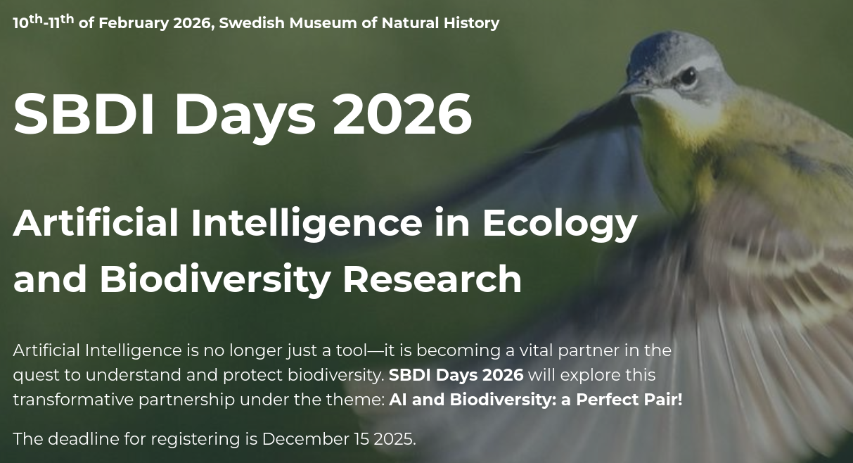
Event date: 2026-02-10
This event has already happened. Stay tuned for more events like these!
A conference hosted by SBDI in partnership with SciLifeLab’s Planetary Biology Strategic Area, exploring the transformative partnership between AI and biodiversity research.
TESSERA: precomputed FAIR global pixel embeddings for earth representation and analysis
![]()
Event date: 2025-12-11 15:00
Click below to view the recording of this seminar!
Webinar with Zhengpeng (Frank) Feng, Cambridge. Petabytes of satellite Earth Observation (EO) data are freely available and can address critical global challenges. However, EO data quality is poor due to clouds and variable lighting conditions. To address this, practitioners typically use compositing, but this critically removes the temporal phenological signal. Moreover, supervised machine learning to map composited pixels to task-specific classes requires accurately labelled data that are rarely available. We present TESSERA, a pixel-oriented foundation model for EO time series that creates 128-dimensional latent embeddings requiring only a few labels for task-specific training to achieve state-of-the-art performance across diverse complex tasks. TESSERA uses two encoders that combine optical data with synthetic aperture radar backscatter coefficients at 10m resolution, creating embeddings fused with a multilayer perceptron to generate annual global embedding maps. TESSERA closely matches or outperforms state-of-the-art task-specific models and other foundation models across five diverse downstream tasks. It is unprecedented in ease of use, scale, and accuracy: no other open foundation model provides precomputed outputs with global, annual coverage at 10m resolution.
Workshop on AI for Climate and Conservation (AICC) at EurIPS 2025
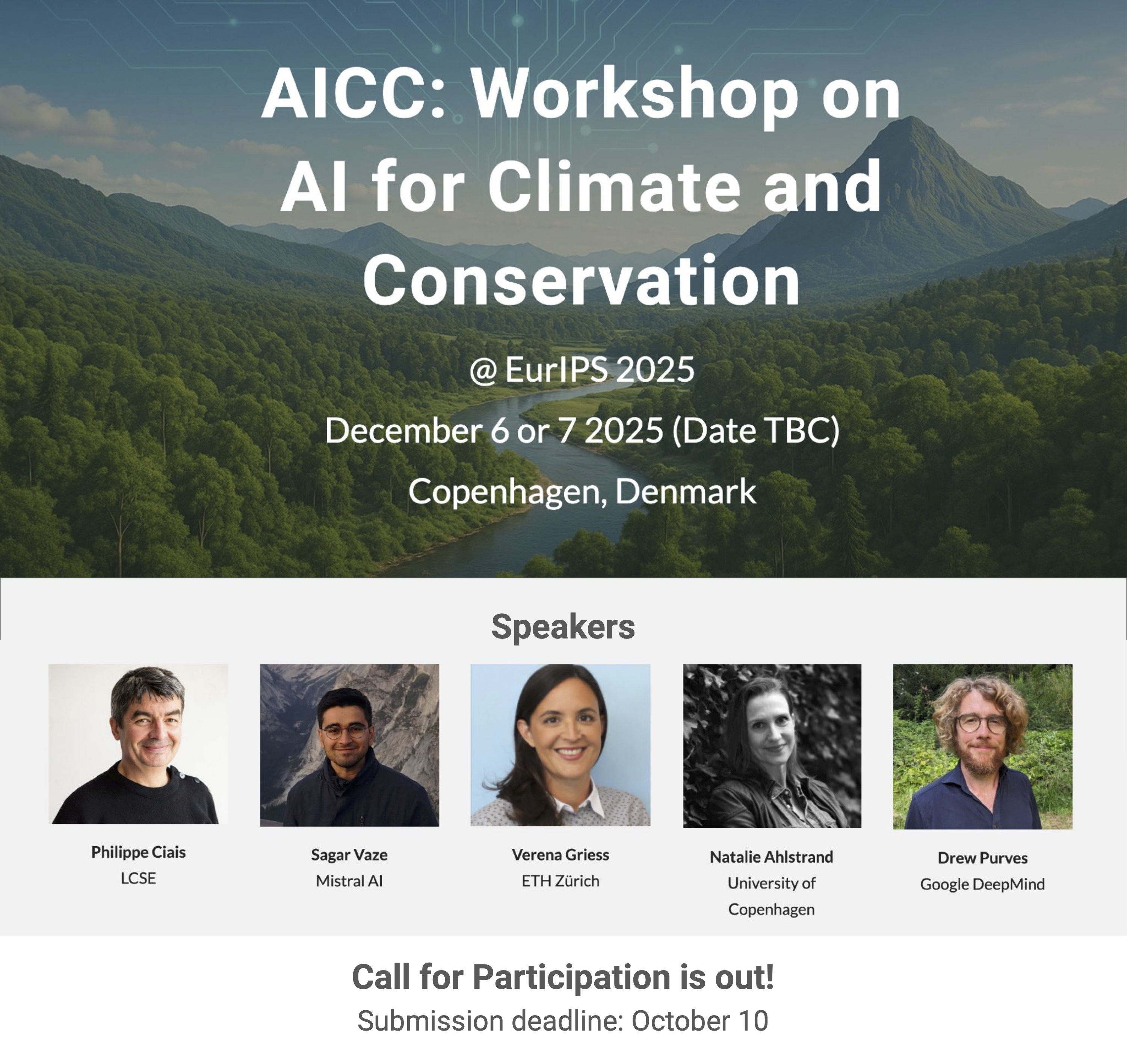
Event date: 2025-12-06
This event has already happened. Stay tuned for more events like these!
Climate AI Nordics is excited to announce that the Workshop on AI for Climate and Conservation (AICC) has been accepted for EurIPS 2025! The AICC workshop will take place in Copenhagen, Denmark, Dec 6th! (Co-located with EurIPS).
Workshop on Advances in Representation Learning for Earth Observation (REO) at EurIPS 2025
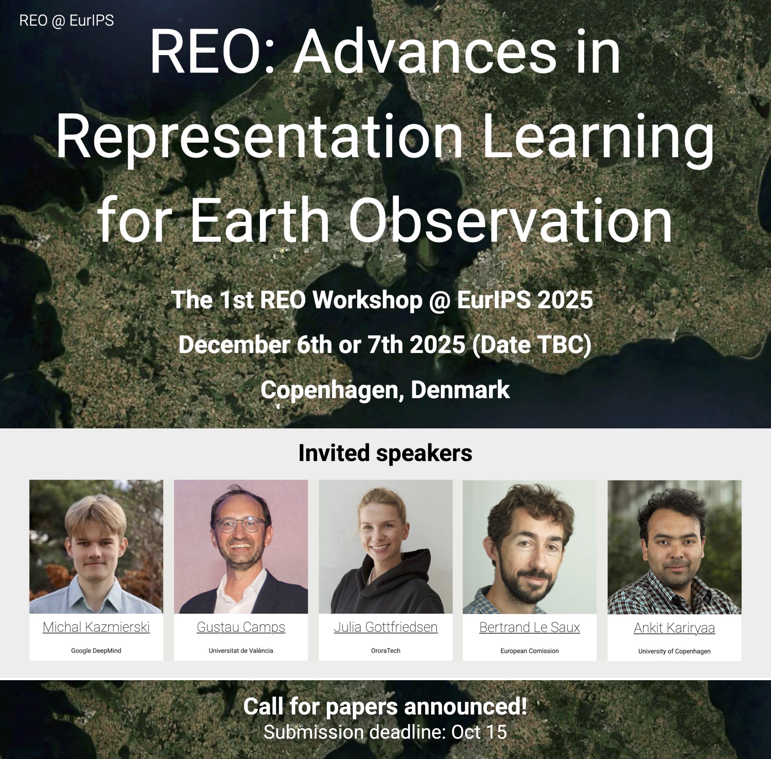
Event date: 2025-12-06
This event has already happened. Stay tuned for more events like these!
The REO workshop will take place in Copenhagen, Denmark, Dec 6th. (Co-located with EurIPS)!
Multi-resolution learning with neural operators and long short-term memory neural networks

Event date: 2025-11-20 15:00
Click below to view the recording of this seminar!
Webinar with Katarzyna Michalowska, SINTEF. In real-world applications, collecting large amounts of high-resolution data is rarely practical. The cost of specialized equipment, time-intensive measurements, and expensive high-fidelity simulations often means that high-resolution samples are limited. Meanwhile, low-resolution data are far easier to obtain and often exist in abundance, creating a common scenario: plentiful coarse data but limited fine data. Standard neural networks, which require fixed-resolution inputs, cannot exploit this imbalance and typically perform poorly when generalizing across resolutions. Deep operator networks, or DeepONets offer a distinct advantage over standard neural networks through a property known as discretization invariance, enabling learning across varying data resolutions. However, DeepONets alone do not effectively capture long-term temporal dependencies, limiting their performance on problems involving long time horizons. In this talk, we present a framework that addresses both challenges: multi-resolution learning and long-time horizon modelling. We achieve this by extending DeepONets with long short-term memory networks (LSTMs) and introducing a multi-stage training procedure that leverages data at multiple resolutions. This hybrid architecture first learns global dynamics from abundant low-resolution data and then fine-tunes on limited high-resolution samples, capturing both multi-resolution structure and temporal dependencies. In tests on nonlinear dynamical systems, our multi-resolution DON-LSTM achieves lower generalization error and requires fewer high-resolution samples than standard DeepONet or LSTM models. Our results demonstrate that the proposed approach is well-suited for real-world scenarios where high-resolution data are limited, highlighting its potential for practical applications across science and engineering.
Self-supervised pre-training for glacier calving front extraction from synthetic aperture radar imagery

Event date: 2025-11-13 15:00
This event has already happened. Stay tuned for more events like these!
Webinar with Nora Gourmelon, Friedrich-Alexander-Universität Erlangen-Nürnberg (FAU). The factors influencing melt at glacier fronts facing the ocean remain an active area of research. To better understand these factors, it is essential to monitor changes in glacier calving fronts. Due to the importance of weather-dependent and seasonal variations, Synthetic Aperture Radar (SAR) is the preferred imaging method for such monitoring. In recent years, deep learning models have been developed to automate the extraction of calving front positions, however, their performance on SAR data remains suboptimal. Limited labeled data and high variability in SAR images hinder traditional supervised learning. Foundation models pre-trained on large, diverse datasets could provide robust feature representations that require minimal labeled data for fine-tuning on specific SAR tasks. However, in preliminary experiments, we found that the domain gap is too large for the task of extracting calving fronts from SAR imagery, and foundation models fine-tuned on the "CAlving Fronts and where to Find thEm" (CaFFe) benchmark dataset performed subpar. Therefore, we compiled an unlabeled dataset of Sentinel-1 SAR image sequences of Arctic glaciers, each associated with a single Sentinel-2 optical reference image. Using this dataset, we developed a novel multi-modal self-supervised pre-training strategy and applied it to pre-train a hybrid CNN-transformer model. Fine-tuning on the CaFFe benchmark showed that the pre-trained model outperforms its non-pre-trained counterpart, enabling more robust calving front segmentation and demonstrating the potential of data-efficient learning for SAR imagery.
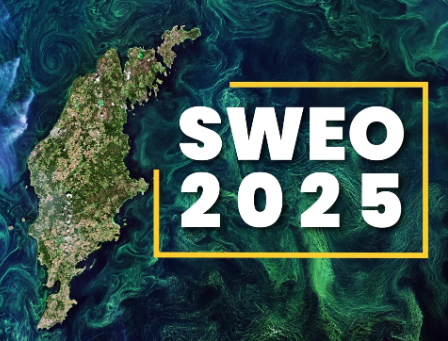
SWEO2025: Earth observation event in Stockholm
Event date: 2025-10-23 09:00
This event has already happened. Stay tuned for more events like these!
SWEO2025 is an event that revolves around the practical applications of Earth observation data, including within environmental monitoring and similar areas. The event takes place in Solna, Stockholm, between October 23rd and 24th.
Earth observation and deep learning for urban applications

Event date: 2025-10-09 15:00
Click below to view the recording of this seminar!
Webinar with Sebastian Hafner, RISE. Urbanization is progressing at an unprecedented rate in many places around the world, making Earth observation (EO) a vital tool for monitoring its dynamics on a global scale. Modern satellite missions provide new opportunities for urban mapping and change detection (CD) through high-resolution imagery. At the same time, EO data analysis has advanced from traditional machine learning approaches to deep learning (DL), particularly Convolutional Neural Networks (ConvNets). Yet, current DL methods for urban mapping and CD face key challenges, including effectively integrating multi-modal EO data, reducing reliance on large labeled datasets, and improving transferability across geographic regions. This talk will present methods to address these challenges in urban mapping and CD, with applications such as multi-hazard building damage detection. It will also highlight the IDEAMAPS Data Ecosystem project, showing how its community-centric approach advances our understanding of urban deprivation and enables DL-based deprivation mapping.
Hyperparameter tuning, Bayesian optimisation and applications related to climate change

Event date: 2025-09-25 15:00
Click below to view the recording of this seminar!
Webinar with Sigrid Passano Hellan, NORCE Norwegian Research Centre. If you don’t want to be setting and tuning machine learning model hyperparameters such as the learning rate yourself, then hyperparameter tuning is a good alternative. Also called hyperparameter optimisation, it has been developed to reduce the amount of machine learning experience required to set up a model by automatically finding the best hyperparameters. By reducing these hurdles to adoption, machine learning can be adopted for more climate applications. Bayesian optimisation is a popular method for hyperparameter optimisation, and consists of fitting a probabilistic model and using that to inform the optimisation process. Both hyperparameter optimisation and Bayesian optimisation can be greatly enhanced using transfer learning, where we learn from previous optimisation problems to speed up the current one. In this talk I will give an introduction to methods for hyperparameter tuning and Bayesian optimisation, and how transfer learning can be used. Then I will present how Bayesian optimisation has been applied to climate related research, as we discussed in a recent survey. We found the main application areas to be material discovery – finding better materials for solar panels; wind farm layouts – deciding where to place turbines; optimal control of renewables – e.g. adjusting wind turbine blade angles to current conditions; and environmental monitoring – e.g. finding pollution maxima.
Short course on artificial intelligence for environmental data

Event date: 2025-09-17 09:00-17:00
This event has already happened. Stay tuned for more events like these!
This two-day short course introduces early-career researchers and professionals to how AI can be applied for processing and interpreting environmental data, with a focus on climate-related analysis and earth observation. Participants will learn core AI methods—including Large Language Models (LLMs)—and gain hands-on experience with practical tools through guided exercises.
Generative domain adaptation and foundation models for robust Earth observation

Event date: 2025-09-11 15:00
Click below to view the recording of this seminar!
Webinar with Georges Le Bellier, CNAM. Deep learning for remote sensing plays a crucial role in turning satellite and aerial imagery into dependable, real-world insights. However, Earth observation models must handle diverse environments, sensors, and conditions—such as clouds, seasonal shifts, and geographic differences—while still producing accurate results. In this talk, we explore two paths that lead to more robust and adaptable algorithms: generative domain adaptation and geospatial foundation models. First, I will introduce FlowEO, a generative approach of Unsupervised Domain Adaptation (UDA) for Earth observation, and show its high performance in UDA scenarios for several downstream tasks, including dense prediction and classification. This flow-matching-based translation method improves pretrained predictive models' accuracies in challenging scenarios such as post-disaster response and high cloud coverage cases with SAR-to-optical translation. FlowEO’s generative domain adaptation method is independent of the downstream task and does not require retraining the predictive model. Then, I will present “PANGAEA: A Global and Inclusive Benchmark for Geospatial Foundation Models“, a standardized evaluation protocol that covers a diverse set of datasets, dense prediction tasks, resolutions, sensor modalities, and temporalities. This benchmark includes comparison between geospatial foundation models but also with supervised baselines, namely U-Net and ViT, and highlights the strengths and weaknesses of GFMs. In addition, PANGAEA evaluates models’ accuracy in cases where labels are limited and questions the impact of multi-temporal data for GFMs.
Debiasing AI predictions for causal inference without fresh ground truth data

Event date: 2025-08-28 15:00
Click below to view the recording of this seminar!
Webinar with Markus Pettersson, Chalmers University of Technology. Machine learning models trained on Earth observation data, particularly satellite imagery, have recently shown impressive performance in predicting household-level wealth indices, potentially addressing chronic data scarcity in global development research. While these predictions exhibit strong predictive power, they inherently suffer from shrinkage toward the mean, resulting in attenuated estimates of causal treatment effects and thus limiting their utility in policy evaluations. Existing debiasing methods, such as Prediction-Powered Inference (PPI), require additional fresh ground-truth data at the downstream causal inference stage, severely restricting their applicability in data-poor environments. In this paper, we introduce and rigorously evaluate two novel correction methods—linear calibration correction and Tweedie's correction—that substantially reduce prediction bias without relying on newly collected labeled data. Our methods operate on out-of-sample predictions from pre-trained models, treating these models as black-box functions. Linear calibration corrects bias through a straightforward linear transformation derived from held-out calibration data, while Tweedie's correction leverages empirical Bayes principles to directly address shrinkage-induced biases by exploiting score functions derived from predicted outcomes. Through analytical exercises and experiments using Demographic and Health Survey (DHS) data, we demonstrate that both proposed methods outperform existing data-free approaches, can achieve significant reductions in attenuation bias and thus providing more accurate, actionable, and policy-relevant estimates. Our approach represents a generalizable, lightweight toolkit that enhances the reliability of causal inference when direct outcome measures are limited or unavailable.
ESA Phi-Lab Sweden Opening Event

Event date: 2025-08-26 09:00-17:00
This event has already happened. Stay tuned for more events like these!
Welcome to the official opening of ESA Phi-Lab Sweden in Stockholm. The opening ceremony will take place on August 26, starting with a presentation of the Phi-Lab’s mission and thematic focus, followed by a symbolic ribbon-cutting ceremony. After a light lunch, the afternoon continues with a conference programme featuring inspiring presentations, forward-looking discussions, and a poster session for sharing contributions (pre-registration required). We welcome researchers, start-ups, industry players and the public sector to join this important step towards a future where Sweden plays an active role in shaping AI-driven space applications.
DIGeMERGE 2025 Conference

Event date: 2025-08-14
This event has already happened. Stay tuned for more events like these!
DiGeMERGE 2025 is an international conference organized by researchers from the Digital Emergency Communication (DIGeMERGE) project. Funded under the CHANSE programme by the EU Commission (Horizon 2020) and Nordic research councils, DIGeMERGE explores the role of digital tools and platforms in public emergency communication across the Nordic countries. The conference provides a platform for researchers and students to present their work on the digital transformation of public emergency communication. Whether focusing on emergency management theories, risk analysis methods, or empirical case studies, participants will have the opportunity to share insights and engage with scholars from diverse disciplines, including the natural and social sciences.
High-stakes decisions from low-quality data: AI decision-making for conservation

Event date: 2025-06-19 15:00
Click below to view the recording of this seminar!
Webinar with Lily Xu, Columbia University. Like many of society's grand challenges, biodiversity conservation requires effectively allocating and managing our limited resources in the face of imperfect information. My research develops data-driven AI decision-making methods to do so, overcoming the messy data ubiquitous in these settings. Here, I’ll present technical advances in machine learning, reinforcement learning, and causal inference, addressing research questions that emerged from on-the-ground challenges in wildlife conservation. I’ll also discuss bridging the gap from research and practice, with anti-poaching field tests in Cambodia, field visits in Belize and Uganda, and large-scale deployment with SMART conservation software.
Efficient and precise annotation of local structures in data

Event date: 2025-05-22 15:00
Click below to view the recording of this seminar!
Webinar with John Martinsson, RISE and Lund University. Machine learning models now help scientists analyze vast datasets across every branch of science. These models typically improve with more data and larger architectures, mainly through supervised learning. Both training and evaluation therefore rely on labeled datasets. A main challenge is scaling the data labeling effort to the volumes required, because it is costly and label quality can vary. Methods that deliver inexpensive yet accurate labels are therefore essential. This talk examines how to lower annotation cost and increase label quality when labeling local structures in data—for example, a local structure can be a sound event in an audio recording. By detecting the boundaries of such structures automatically, we let annotators focus on supplying concise textual descriptions for the content within those boundaries. In this setting we analyze a widely used labeling method for audio where fixed and equal length audio segments are labeled with presence or absence of an event class. We benchmark it against an oracle method that defines an upper bound, and propose adaptive labeling techniques that achieve higher‑quality labels for the studied datasets at a lower cost.
The digital revolution of Earth system modelling

Event date: 2025-05-15 15:00
Click below to view the recording of this seminar!
Webinar with Peter Dueben, European Centre for Medium-Range Weather Forecasts. This talk will outline three revolutions that happened in Earth system modelling in the past decades. The quiet revolution has leveraged better observations and more compute power to allow for constant improvements of prediction quality of the last decades, the digital revolution has enabled us to perform km-scale simulations on modern supercomputers that further increase the quality of our models, and the machine learning revolution has now shown that machine-learned weather models are competitive with physics based weather models for many forecast scores while being easier, smaller and cheaper. This talk will summarize the past developments, explain current challenges and opportunities, and outline how the future of Earth system modelling will look like. In particular, regarding machine-learned foundation models in a physical domain such as Earth system modelling.
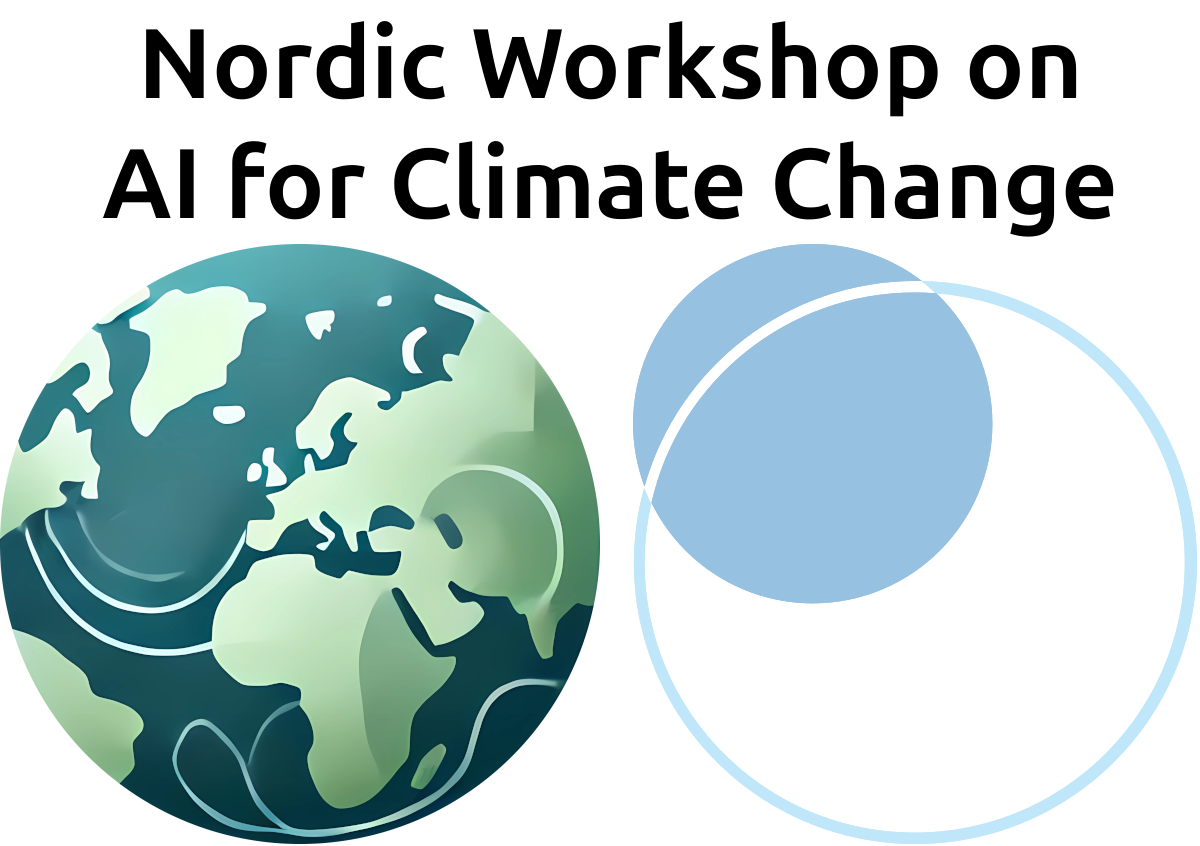
2025 Nordic Workshop on AI for Climate Change
Event date: 2025-05-13 9:00
This event has already happened. Stay tuned for more events like these!
The 2025 Nordic Workshop on AI for Climate Change will gather researchers from the Nordics. This one-day, in-person workshop, will take place in Gothenburg, Sweden, May 13th 2025. The workshop will feature a mix of keynotes, oral presentations, and posters around the topics of AI for climate change, including AI for biodiversity and the green transition. The workshop will be a meeting point for a wide range of researchers from (primarily) around the Nordic countries.
SatML for large-scale above-ground biomass estimation

Event date: 2025-05-08 15:00
Click below to view the recording of this seminar!
Webinar with Ghjulia Sialelli, ETH Zurich. The combination of remote sensing and machine learning has made it possible to map forest properties at an unprecedented scale and resolution. In this presentation, I will focus on the application of deep learning techniques to estimate above-ground biomass (AGB), a key metric for tracking forest carbon and ecosystem dynamics. I will begin by introducing our recently published, machine-learning-ready dataset. It features high-resolution (10m) multi-modal satellite imagery, paired with AGB reference values from NASA’s Global Ecosystem Dynamics Investigation (GEDI) mission. Key aspects include the carefully selected geographic coverage, thoughtful integration of diverse satellite data sources, and the establishment of performance baselines using standard deep learning models. Next, I will describe our ongoing efforts to build on said baselines. This was done both through feature and model engineering. I will also mention some promising yet unsuccessful approaches, highlighting some key challenges of the task at hand. Finally, I will discuss future directions, including incorporating uncertainty estimation and exploring the potential for generating a global above-ground biomass map.
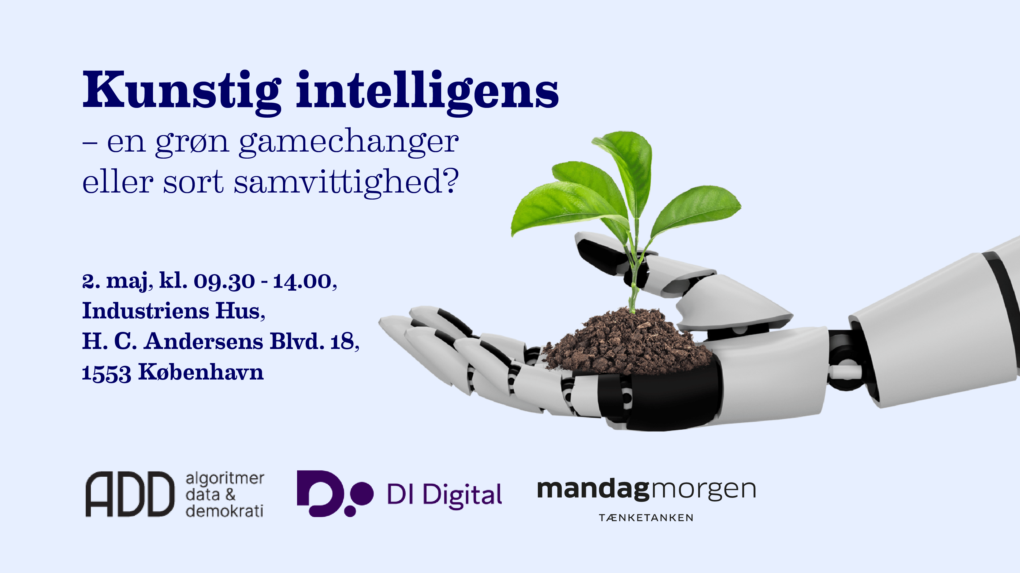
AI - a green gamechanger or a dirty conciousness?
Event date: 2025-05-02 9:30
This event has already happened. Stay tuned for more events like these!
How can we utilize the enormous potential of artificial intelligence (AI) while also taking into account its impact on the climate? Artificial intelligence has the potential to transform large parts of our society and play a crucial role in the green transition. But at the same time, we must be aware of the energy consumption and the resource load that the use of AI also entails.
Optimising green infrastructure for climate-resilient cities: AI-driven approaches to urban cooling

Event date: 2025-04-03 15:00
Click below to view the recording of this seminar!
Webinar with Abdul Shaamala, Queensland University of Technology. Green infrastructure (GI) is critical in enhancing urban resilience, mitigating heat stress, and improving environmental sustainability. However, optimising the placement and configuration of green elements such as trees, parks, and vegetative corridors, requires a data-driven approach that accounts for microclimate variations, urban morphology, and long-term ecosystem benefits. This talk explores how artificial intelligence (AI), machine learning (ML), and geospatial analysis can be leveraged to optimise GI for urban cooling and climate adaptation. Specifically, it delves into tree optimisation strategies that enhance shade provision, reduce urban heat islands (UHI), and improve outdoor thermal comfort. By utilising computational models, including optimisation algorithms and thermal analysis, cities can strategically position vegetation to maximise cooling benefits while balancing urban development needs.
Machine learning for Earth system prediction and predictability

Event date: 2025-03-27 15:00
Click below to view the recording of this seminar!
Webinar with María J. Molina, University of Maryland. Machine learning can be used for Earth system prediction, or to study the uppermost limit of prediction skill theoretically achievable given the system's initial state or other factors, otherwise known as predictability. In traditional numerical weather prediction frameworks, we solve the governing partial differential equations starting from an initial state. This initialized prediction framework usually involves three stages: 1) generating the initial conditions of the Earth system, 2) running the mathematical representation of the system on a computer forward in time, and 3) analyzing the output and converting it into a format that is useful for end users. Machine learning can be used to improve each of these individual stages, or to circumvent the three stage framework altogether, and examples of each will be given in this seminar. More time during the seminar will be dedicated to the challenges surrounding subseasonal prediction, which focuses on lead times of three to four weeks, and how we can use machine learning to both uncover potential biases in our initialized prediction systems and how we can bias-correct them.
Reliable conclusions from remote sensing maps

Event date: 2025-03-13 15:00
Click below to view the recording of this seminar!
Webinar with Sherrie Wang, MIT. Remote sensing maps are used to estimate regression coefficients relating environmental variables, such as the effect of conservation zones on deforestation. However, the quality of map products varies, and – because maps are outputs of complex machine learning algorithms that take in a variety of remotely sensed variables as inputs – errors are difficult to characterize. Thus, population-level estimates from such maps may be biased. We show how a small amount of randomly sampled ground truth data can correct for bias in large-scale remote sensing map products. Applying our method across multiple remote sensing use cases in regression coefficient estimation, we find that it results in estimates that are (1) more reliable than using the map product as if it were 100% accurate and (2) have lower uncertainty than using only the ground truth and ignoring the map product. Paper: https://arxiv.org/abs/2407.13659
Edge AI and IoT-Driven Water Quality Monitoring

Event date: 2025-03-06 15:00
Click below to view the recording of this seminar!
Webinar with Atakan Aral, University of Vienna. The integration of Edge Computing and Artificial Intelligence (i.e., Edge AI) unlocks new possibilities for remote monitoring of water quality across diverse environments. This talk will explore the dual aspects of "remote" monitoring: (1) collecting water quality data in geographically remote regions with limited energy and connectivity and (2) using connected water quality sensors to gain real-time insights remotely. By deploying low-power or energy-harvesting sensors and learning from data in close proximity to sensors, we can improve efficiency, reduce latency, and maintain learning performance in challenging environments without reliable communication and energy infrastructures. The presentation will showcase two real-world case studies in river pollution source identification and monitoring of water distribution systems.
Tech-informed nature conservation - are we there yet?

Event date: 2025-02-20 15:00
Click below to view the recording of this seminar!
Webinar with Abdulhakim Abdi, Lund University. In the face of a global biodiversity crisis, the ability to efficiently monitor ecological change across space and time has never been more accessible. Advances in satellite remote sensing and AI have opened new frontiers for biodiversity monitoring by offering powerful tools to analyze vast datasets, automate species detection, and improve disturbance tracking. While these technologies hold great promise, their widespread adoption faces key challenges, including data accessibility, environmental costs, model interpretability, and the need for stronger interdisciplinary collaboration. This presentation explores the opportunities and limitations of tech-driven nature conservation, assessing whether current developments are sufficient to bridge critical knowledge gaps. The integration of remote sensing with AI brings us closer to a more data-informed approach to managing the living world - but are we truly ready to harness its full potential?
Leveraging AI for Large-Scale Acoustic Biodiversity Monitoring: Insights from TABMON

Event date: 2025-02-06 15:00
This event has already happened. Stay tuned for more events like these!
Webinar with Benjamin Cretois, Norwegian Institute for Nature Research. Advancing biodiversity monitoring is crucial for meeting the EU Biodiversity Strategy targets and addressing gaps in current ecological assessments. However, collecting data to monitor the state of biodiversity is time and resource consuming. Passive Acoustic Monitoring (PAM), in combination with AI tools offers an efficient alternative to conventional data collection practices. PAM is a non-invasive method that uses sound recorders to capture wildlife vocalizations and environmental sounds over time. It is particularly valuable for monitoring elusive or nocturnal species, such as birds, amphibians, and marine mammals, that are challenging to detect visually. The "Towards a Transnational Acoustic Biodiversity Monitoring Network" (TABMON) project is an initiative to establish a transnational passive acoustic monitoring monitoring network using autonomous acoustic sensors across four different European countries: Norway, Netherlands, France and Spain. TABMON’s objective is to demonstrate how acoustic sensing, coupled with cutting-edge AI, can complement traditional monitoring methods and support the development of methods to better monitor biodiversity. In this talk, we will also share our experiences with the deployment of acoustic recorders, data management strategies, and annotation protocols. These include managing large-scale, networked deployments across diverse landscapes, designing an efficient annotation workflow, and leveraging AI tools to process and analyze massive datasets.
Leveraging AI for Climate Resilience in Africa: Challenges, Opportunities, and the Need for Collaboration

Event date: 2025-01-30 15:00
Click below to view the recording of this seminar!
Webinar with Amal Nammouchi, Karlstad University and AfriClimate AI. As climate change issues become more pressing, their impact in Africa calls for urgent, innovative solutions tailored to the continent’s unique challenges. While Artificial Intelligence (AI) emerges as a critical and valuable tool for climate change adaptation and mitigation, its effectiveness and potential are contingent upon overcoming significant challenges such as data scarcity, infrastructure gaps, and limited local AI development. This talk explores the role of AI in climate change adaptation and mitigation in Africa. It advocates for a collaborative approach to build capacity, develop open-source data repositories, and create context-aware, robust AI-driven climate solutions that are culturally and contextually relevant.
Estimation of water quality parameters using remote sensing data and machine learning models
Event date: 2024-11-28 15:00
Click below to view the recording of this seminar!
Webinar with Alireza Taheri Dehkordi, Lund University. The global decline in water quality, exacerbated by climate change and population growth, underscores the need for continuous and accurate monitoring of water quality parameters (WQPs). Remote sensing (RS) data, especially from multispectral satellites like Sentinel-2 and Landsat-8, offers large-scale, periodic observations for tracking WQPs. However, deriving accurate estimates solely from RS data is complex due to the intricate relationships between spectral bands and water quality indicators. This talk presents two novel machine learning approaches that leverage advanced RS data processing to enhance water quality monitoring.
Artificial Intelligence for Climate Change Mitigation

Event date: 2024-11-21 15:00
Click below to view the recording of this seminar!
Webinar with Alp Kucukelbir, Columbia University. Artificial intelligence (AI) has the potential to make very significant contributions to climate change mitigation. The complexity and scale of the challenge is broad. In this talk, I break down opportunities for AI to effect incremental and transformational change across multiple sectors, focusing on industries with large carbon footprints. I highlight barriers and risks to the adoption of AI, including the carbon footprint of AI usage worldwide. I focus on the multiple definitions (and ultimate importance) of "trust in AI" and its impact on the integration of AI into complex workflows. This talk is for AI practitioners looking to understand how AI fits into the bigger picture of climate change. I highlight opportunities and challenges in each sector that I hope will motivate collaboration across academia and industry.
Frontiers in machine learning for weather forecasting

Event date: 2024-11-07 15:00
Click below to view the recording of this seminar!
Webinar with Joel Oskarsson, Linköping University. Recent years have seen rapid progress in using machine learning models for weather forecasting. These models show impressive performance, matching or even outperforming existing physics-based models, while running in a fraction of the time. This is fundamentally and rapidly changing the landscape of weather forecasting today. In this talk I will discuss the factors that enabled this paradigm shift, the core machine learning methods used and the research questions at the bleeding edge of machine learning for weather. In particular I will focus on how current methods can be extended to regional and probabilistic forecasting. For regional forecasting I will showcase graph-based methods for building limited area weather forecasting models. I will also discuss how generative machine learning methods can enable probabilistic forecasting, giving much-needed estimates of uncertainty and allowing for predicting extreme weather events.