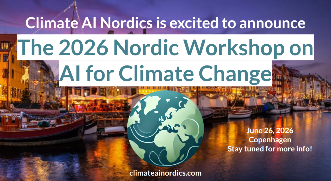
Save the date: 2026 Nordic Workshop on AI for Climate Change
Climate AI Nordics is thrilled to announce that our annual Nordic Workshop on AI for Climate Change returns again in 2026, this time in Copenhagen! Mark June 26th 2026 in your calendars, and stay tuned for more info to come!
Important update:Registration is now open, please see the event page!
From biodiversity monitoring and Arctic change to the future role of AI in conservation, AICC-2 showcased a diverse range of perspectives on AI for planetary impact. The workshop and accompanying social event created valuable opportunities for knowledge exchange and community building at ECCV 2026.
Climate AI Nordics is happy to announce that our annual **_Nordic Workshop on AI for Climate_** returns again for a third time in 2027, this time in Oslo! Mark **April 22nd 2027** in your calendars, and stay tuned for more info to come!
Webinar with Rangel Daroya, University of Massachusetts Amherst. In many scientific domains, the goal is not simply to classify an image or produce a visually plausible segmentation, but to estimate quantities that scientists and decision-makers can use: river width, water extent, sediment concentration, habitat change, or other physical variables. These tasks require models that are robust to distribution shift, efficient under limited supervision, and reliable enough to support downstream measurement. In this talk, I will discuss machine learning and computer vision methods for this setting, with a focus on geospatial imagery and hydrology. Scientific domains such as remote sensing expose several fundamental limitations of current vision systems. Models must operate across sensors, geographic regions, seasons, and acquisition conditions, often with limited labeled data and multispectral inputs that differ from standard natural image benchmarks. They must also detect small or thin structures, handle temporal variation, and avoid errors that may appear minor under conventional vision metrics but lead to substantial errors in scientific measurements. I will discuss three aspects that try to solve these problems: learning transferable representations that can adapt across tasks and datasets, developing data-efficient perception methods for multispectral and geospatial imagery, and translating model predictions into reliable physical measurements. I will highlight work on task transfer, satellite representation learning, river segmentation, and downstream estimation of river width and other hydrological variables. More broadly, this work aims to develop robust, transferable, and data-efficient machine perception systems that can turn large-scale satellite and scientific imagery into reliable measurements of the physical world.
Webinar with Ana Lucic, University of Amsterdam. Reliable forecasting of the Earth system is essential for mitigating natural disasters and supporting human progress. Traditional numerical models, although powerful, are extremely computationally expensive1. Recent advances in artificial intelligence (AI) have shown promise in improving both predictive performance and efficiency, yet their potential remains underexplored in many Earth system domains. Here we introduce Aurora, a large-scale foundation model trained on more than one million hours of diverse geophysical data. Aurora outperforms operational forecasts in predicting air quality, ocean waves, tropical cyclone tracks and high-resolution weather, all at orders of magnitude lower computational cost. With the ability to be fine-tuned for diverse applications at modest expense, Aurora represents a notable step towards democratizing accurate and efficient Earth system predictions. These results highlight the transformative potential of AI in environmental forecasting and pave the way for broader accessibility to high-quality climate and weather information. Link to paper: https://www.nature.com/articles/s41586-025-09005-y